> ## Documentation Index
> Fetch the complete documentation index at: https://docs.upsolve.ai/llms.txt
> Use this file to discover all available pages before exploring further.

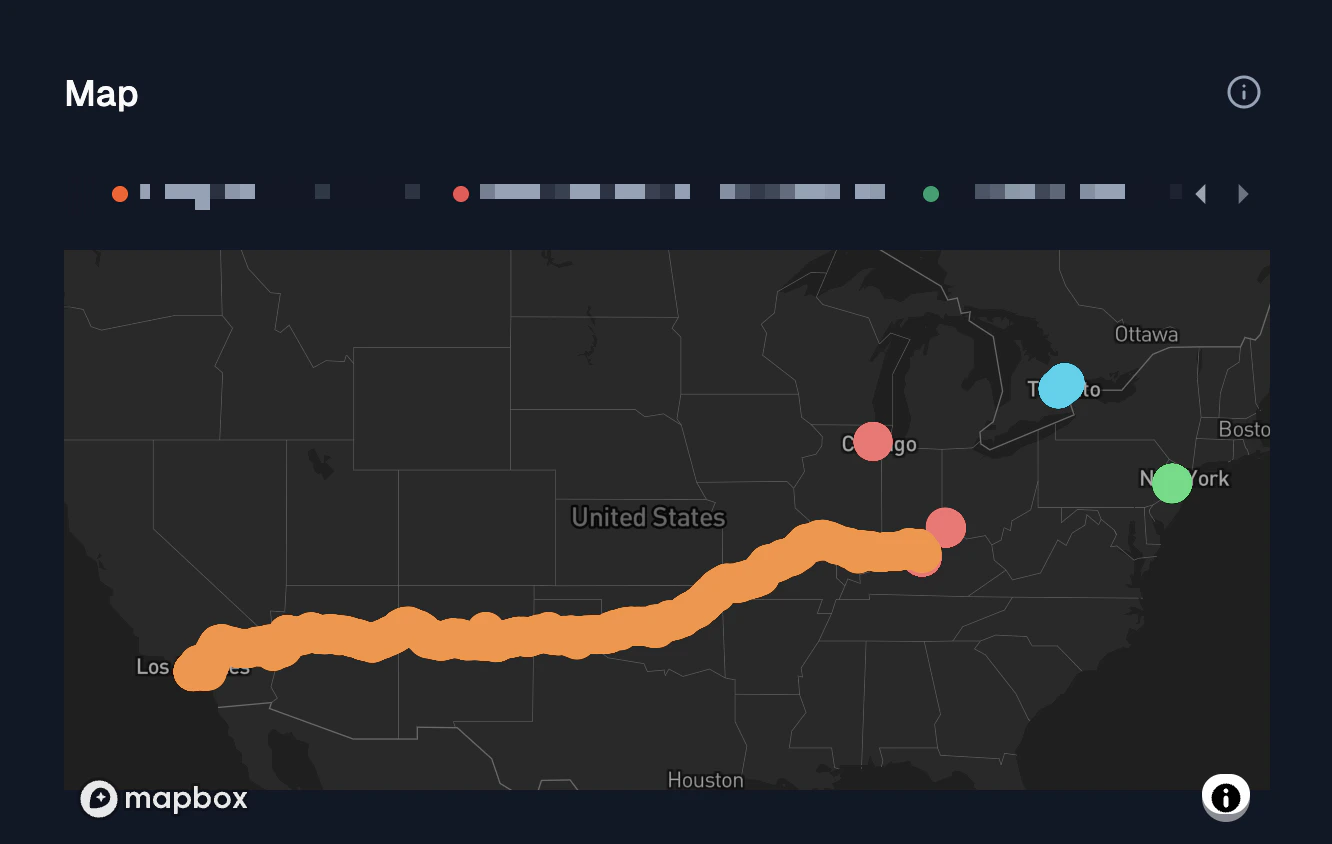
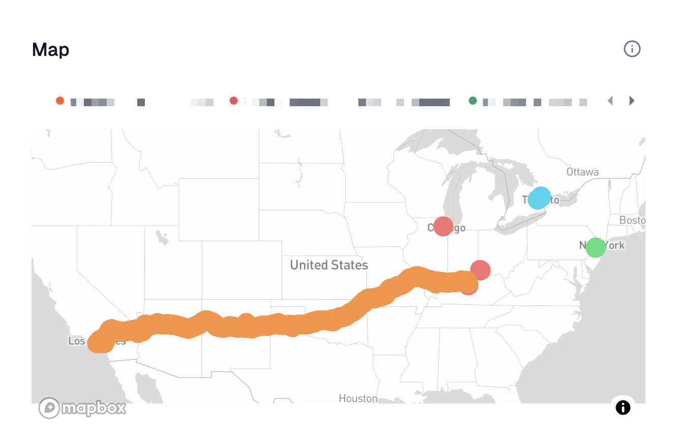
# Map

> Use geographical maps to represent information tied to specific locations or regions
<Frame>
  <img className="block dark:hidden" src="https://mintcdn.com/upsolve/K_3XAKoFAbXHl92p/images/content/charts/map-light.png?fit=max&auto=format&n=K_3XAKoFAbXHl92p&q=85&s=cf82d794107aef3a160e86d967fc25f3" width="1334" height="854" data-path="images/content/charts/map-light.png" />

  <img className="hidden dark:block" src="https://mintcdn.com/upsolve/K_3XAKoFAbXHl92p/images/content/charts/map-dark.png?fit=max&auto=format&n=K_3XAKoFAbXHl92p&q=85&s=0b99d49d8d7c8905e5923bca767800eb" width="1332" height="844" data-path="images/content/charts/map-dark.png" />
</Frame>

## Configuration

<ResponseField name="Latitude" type="numeric" required>
  Latitude of the data points
</ResponseField>

<ResponseField name="Longtitude" type="numeric" required>
  Longtitude of the data points
</ResponseField>

<ResponseField name="Layer" type="string or numeric" required>
  Name of the data point layer
</ResponseField>